Gros Morne
Country: Canada Region: Newfoundland Elevation: 806 m Prominence: 704 m Location: 49.5942, -57.7842
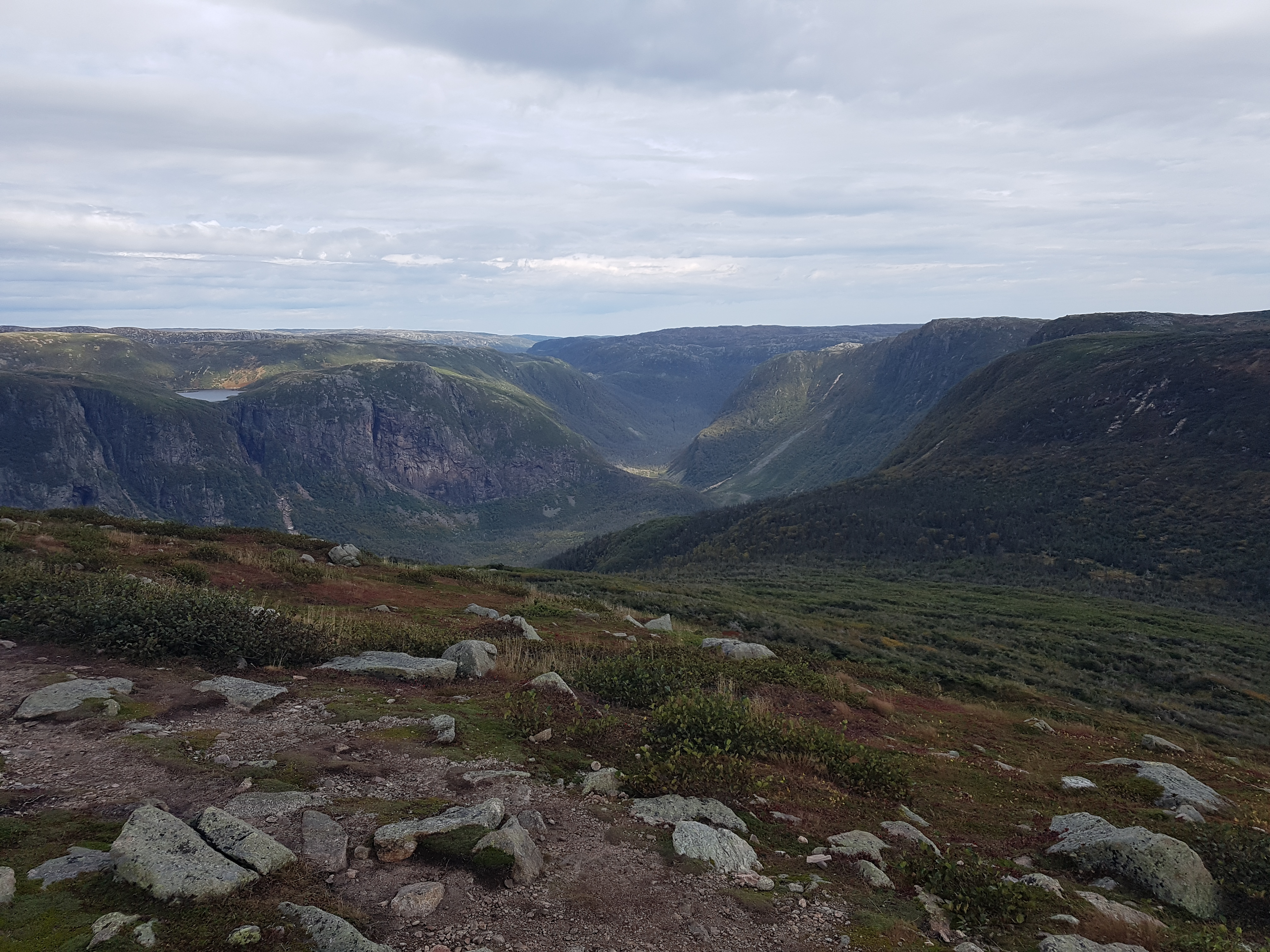
Gros Morne is a National Park on the island of Newfoundland, Canada, designated as a UNESCO World Heritage Site in 1987. The mountains here host Arctic tundra far south of its usual range. The namesake of the park is its highest point, the summit of Gros Morne Mountain at 806 m of elevation. Gros Morne is an ancient flat-topped mountain with amazing views of the surrounding glacier-carved valleys and inland fjords. Atop this mountain lies a popular pinnacle point, attracting hikers from all around the world.
Routes to the Pinnacle Point
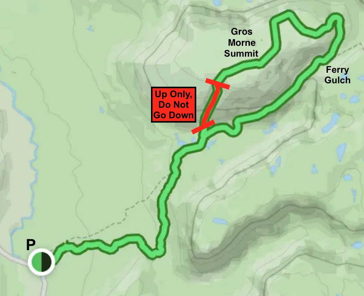
All routes to the pinnacle point can be described as hiking to the Gros Morne Summit Trail, and following the trail to the summit. Ascending this looped trail clockwise requires climbing up scree, loose cobbled stones from the eroding rock. Whereas the counterclockwise ascent is mostly wooden steps. Although you can take either route up the mountain, park staff highly discourage people from descending the scree path to prevent loose rocks from injuring hikers below you. It is not recommended to ascend the mountain while there is fog on top, which is a common occurance in Newfoundland.
Gros Morne Trail – Single Day
The day hike is the most popular way to get to the top of Gros Morne. It covers 17.2 km of distance and 800 m of elevation gain. Just because it is a day hike, that doesn’t mean anyone can do it. It is a strenuous trail. If choosing the day hike, be sure to bring enough water to make it back to the parking lot. There are a couple primitive toilets along the way. Avoid the turn towards the Long Range Traverse, on the east side of the mountain. This trail will not take you back to the parking lot.
Gros Morne Trail - Multiple Days
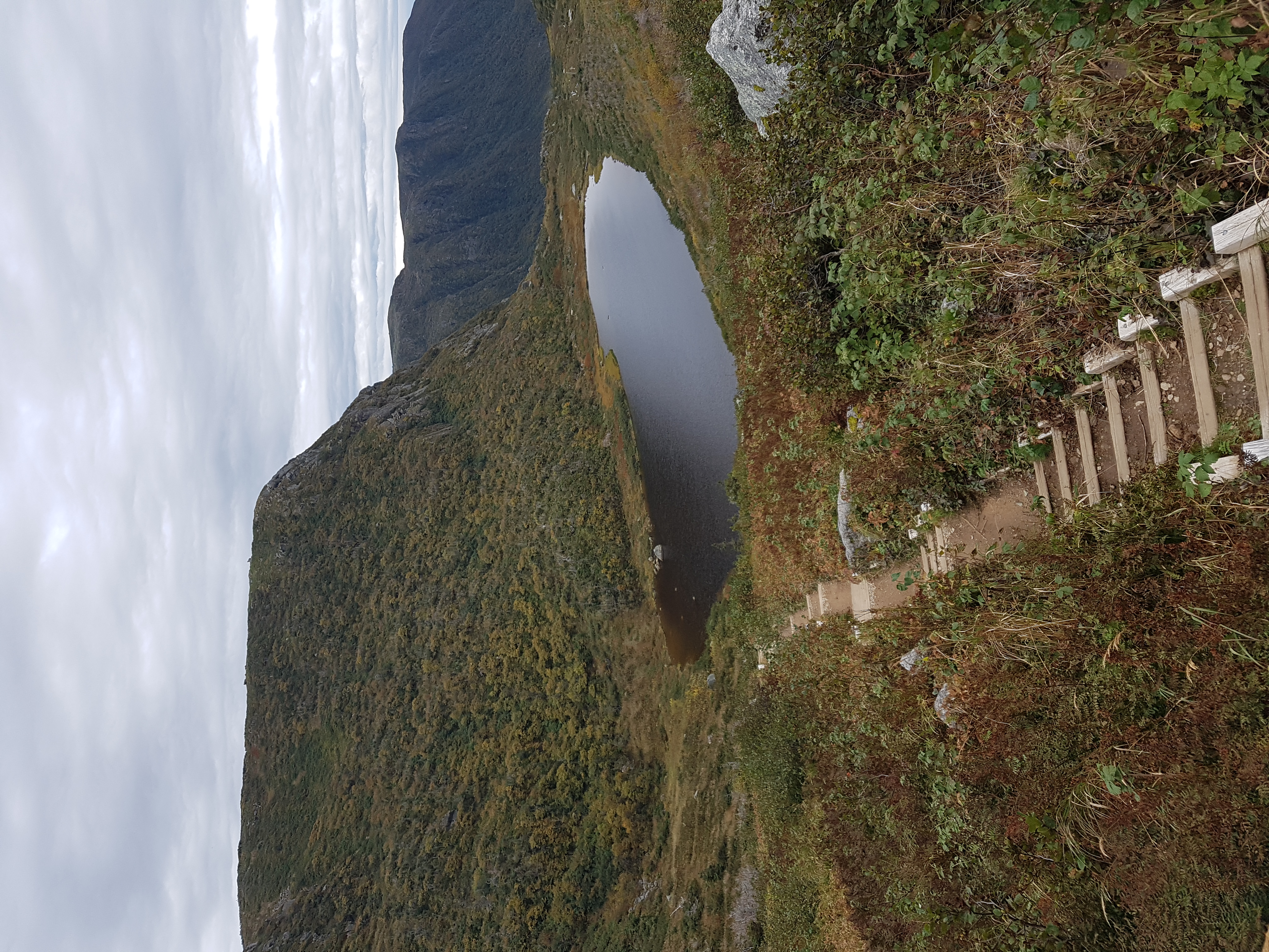
There is a primitive campsite named Ferry Gulch, on the east side of Gros Morne Mountain. There are tent platforms, picnic tables, a primitive toilet, a bear vault, a clear pond to get water from, and great mountain valley views. This campsite makes it possible to divide the standard day hike over 2-3 days. You can leave most of your camping gear at the campsite while you climb to the summit, only taking essentials with you. I recommend this option if you are worried about being able to hike the entire Gros Morne Trail in a single day, or if you are looking for a tame backpacking experience.
Long Range Traverse
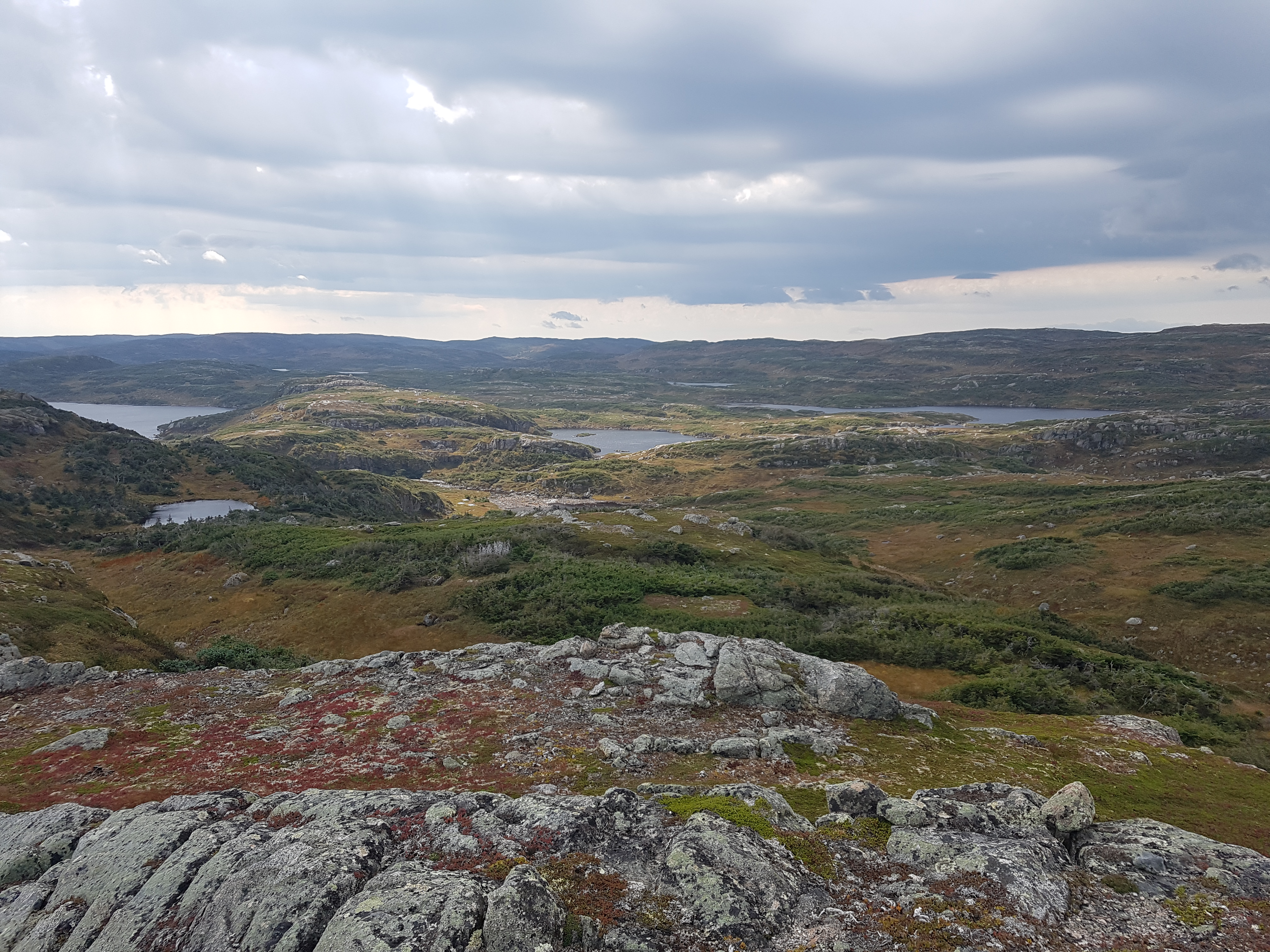
The Long Range Traverse is a rugged unmarked backcountry route typically completed over 3-5 days. If using this trail to visit the pinnacle point, the route is about 40 km with almost 1,500 m of elevation gain. This trail is commonly be seen on “Top Backpacking Trails in the World” lists for its stunning sweeping vistas. The lack of tall trees allows you to see the open barrens all the way to the horizon. There are designated campsites approximately every 6 km with a toilet and bear vault, however, you are allowed to hike and camp just about anywhere. Bring a bear cannister if planning on camping away from designated campsites. Though the island only has black bears, Newfoundland's black bears are larger and more carnivorous than their mainland counterparts. Thankfully, they typically are not an issue. Black bears are timid animals, and encounters are rare.
There is a mandatory safety orientation meeting the day before you start hiking where an emergency beacon can be borrowed for free. The Long Range Traverse is a point-to-point trail, so your best option is to park at the end of the trail and taxi to the start. To save on cost, I recommend trying to meet other backpackers at the orientation meeting to share the taxi with. It is best to reserve the taxi the day before you need it, and be aware that some taxis are cash only. The road to the trailhead gives stark anticipatory views of the mountains to come on one side, while ocean waves crash into the rocky coastline on the other.
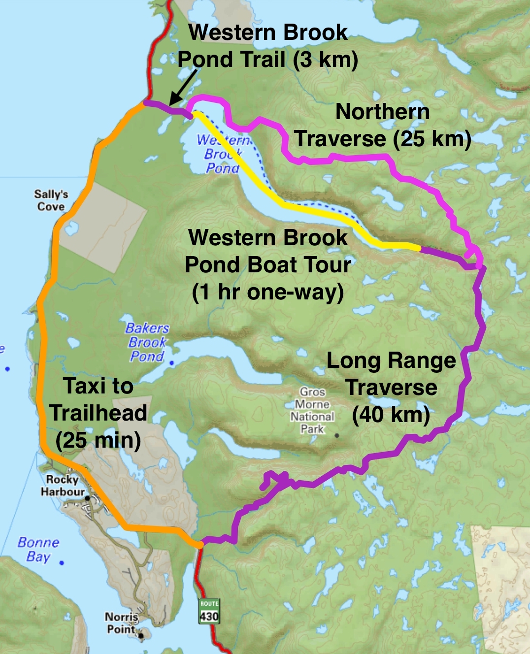
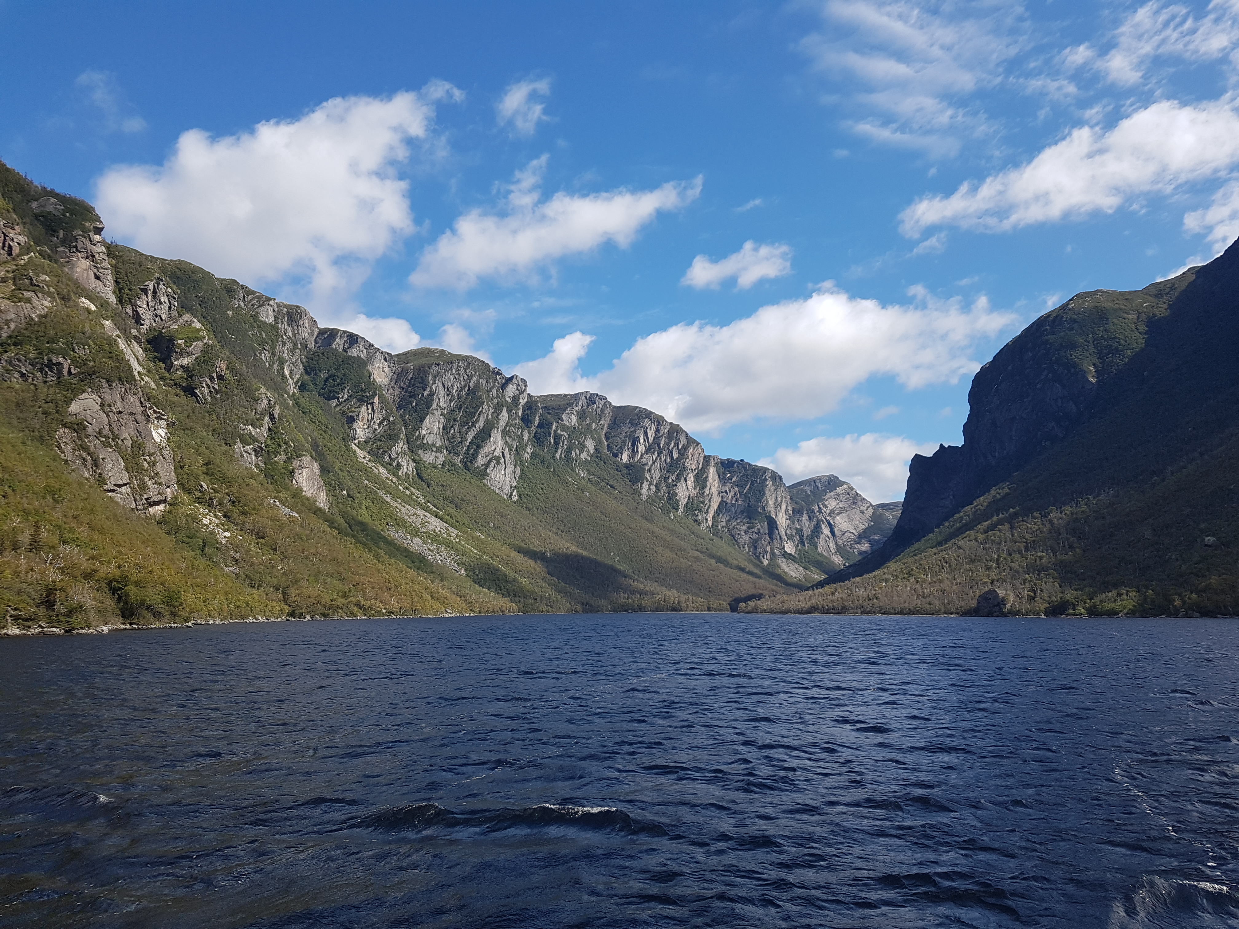
In order to reach the Long Range Traverse, the Western Brook Pond Trail must be completed first. It is a flat 3 km trail that terminates at the west end of Western Brook Pond of all places. There is a reasonably priced café at the end of the trail that serves burgers and hotdogs. This pond is more accurately described as a lake. It was once a fjord filled with seawater, but it has since been landlocked and replaced with freshwater naturally. The Long Range Traverse starts on the other side of this serpentine lake, and an hour long boat tour must be taken to get there. BonTours is the only company that offers this service. Impressive enclosing cliffs stand tall along the entire length of the lake. The boat tour is a very popular day-trip activity for tourists. Few will be getting off the boat with you. When the boat drops you off at the Long Range Traverse trailhead, you need to hike up the valley and over the cliffs that have been looming over you. From here, the trail has a lengthy stretch through the Long Range Barrens until it eventually meets with the Gros Morne Summit Trail.
Northern Traverse and Long Range Traverse
The Northern Traverse is a significant extension of the Long Range Traverse. It is a route that connects the Western Brook Pond Trail to the Long Range Traverse by going around Western Brook Pond. This extension unfortunately makes the boat tour unnecessary. The Northern Traverse is beautiful, but some sections can be even more strenuous than the Long Range Traverse. Many get lost in the large swaths of tuckamore, dense short coniferous forest.
My Journey
Route: Long Range Traverse Dates: Sept 15-17, 2024 Most Notable Bird Sighting: Willow Ptarmigan
| Day # | Distance (km) | Elevation Gain (m) |
|---|---|---|
| 1 | 12.9 | 620 |
| 2 | 11.0 | 410 |
| 3 | 19.7 | 420 | Total | 43.6 | 1450 |
Day 1
At my hostel, I met two fellow backpackers that were entering the Long Range Traverse the same day as me. We decided to taxi to the Western Brook Pond Trail together. We arrived at the café at the end of the trail well over an hour before boarding. I used this time to ingest as many calories as I could, and I suggest you do the same. I ordered a cheeseburger, a hot dog, two cans of pop, and a pack of brownies to-go. As we ate, one of my taxi companions realized he lost his phone! In a panic, he checked his backpack and everywhere else it could be. With nothing found, he ran to the trailhead 3 km back, hoping it was dropped on the way. Unable to help him myself, I stayed at the café.
The quick influx of food was naturally followed by comatose. The day-trippers gave me curious looks as an increasingly-homeless-looking man rolled out a mat for a nap on the gound. When I woke up, the man without a phone had returned emptied handed, evident by his obvious fervor as he searched through his backpack again. As there always is, there was one pocket he forgot to check, a belt pocket. When he at last opened that pocket and pulled out his phone, the watching crowed laughed and cheered.
It wasn’t long before boarding started. Since the upper floor of the boat was full, I stayed on the lower level, as close to the front as I could. The boat tour really was as good as they say, well worthwhile on its own. I couldn’t have been more fortunate with the weather this day. Sunny, windy, and warm, but not hot. One side of the fjord was in direct sunlight, while the other was in shade. The steep cliffs and deep water allowed the boat to get impossibly close to the waterfalls. The boat spun in key spots to ensure everyone had a chance to get the best view.
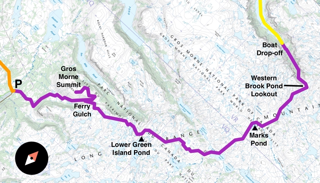
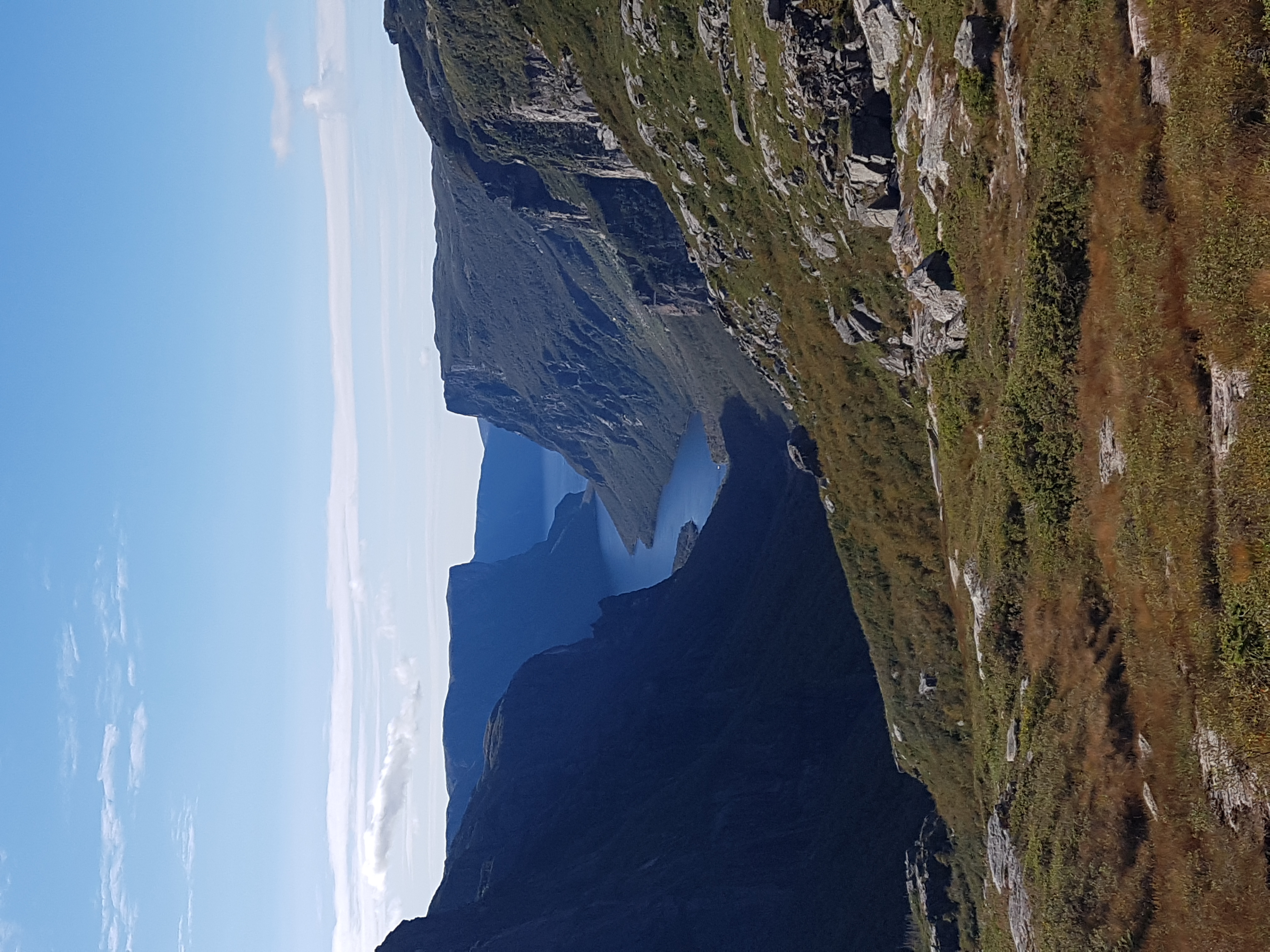
At the drop-off dock, the day-trippers applaued us backpackers as we took our first steps on the Long Range Traverse. A welcome encouragement for such a foreboding trail. After a quick farewell at the dock, I was the first to start the ascent up the valley. I was eager to make as much distance as I could that day, while the weather was good. The climb up the valley was awesome technical hiking. The ground turned from dirt to gravel to stones to boulders. As I hiked up, I was rewarded with increasingly stunning views of Western Brook Pond behind me. The final climb was up bare smooth rock that was slippery where it was wet. The wind as I approached the top was enough to make me lose my footing when I wasn’t careful. The top of the valley gave the most breathtaking view of the winding corridor behind me.
As soon as I crested the top, the wind died down and the mud began. The trail through Long Range Barrens was mud, and where it wasn’t mud the ground was still soaking wet like a sponge. Don’t be fooled by the warm hues the barrens take on in autumn, it will all be wet. If you get lucky and it hasn’t rained for a while, it will still be muddy everywhere. Water does not flow downhill in Gros Morne, even the slopes were perpetually wet. Your feet will not stay dry. Nearly the entire 22 km from the lookout at the top of the valley to the base of Gros Morne Mountain was slop. Beautiful slop, but slop.
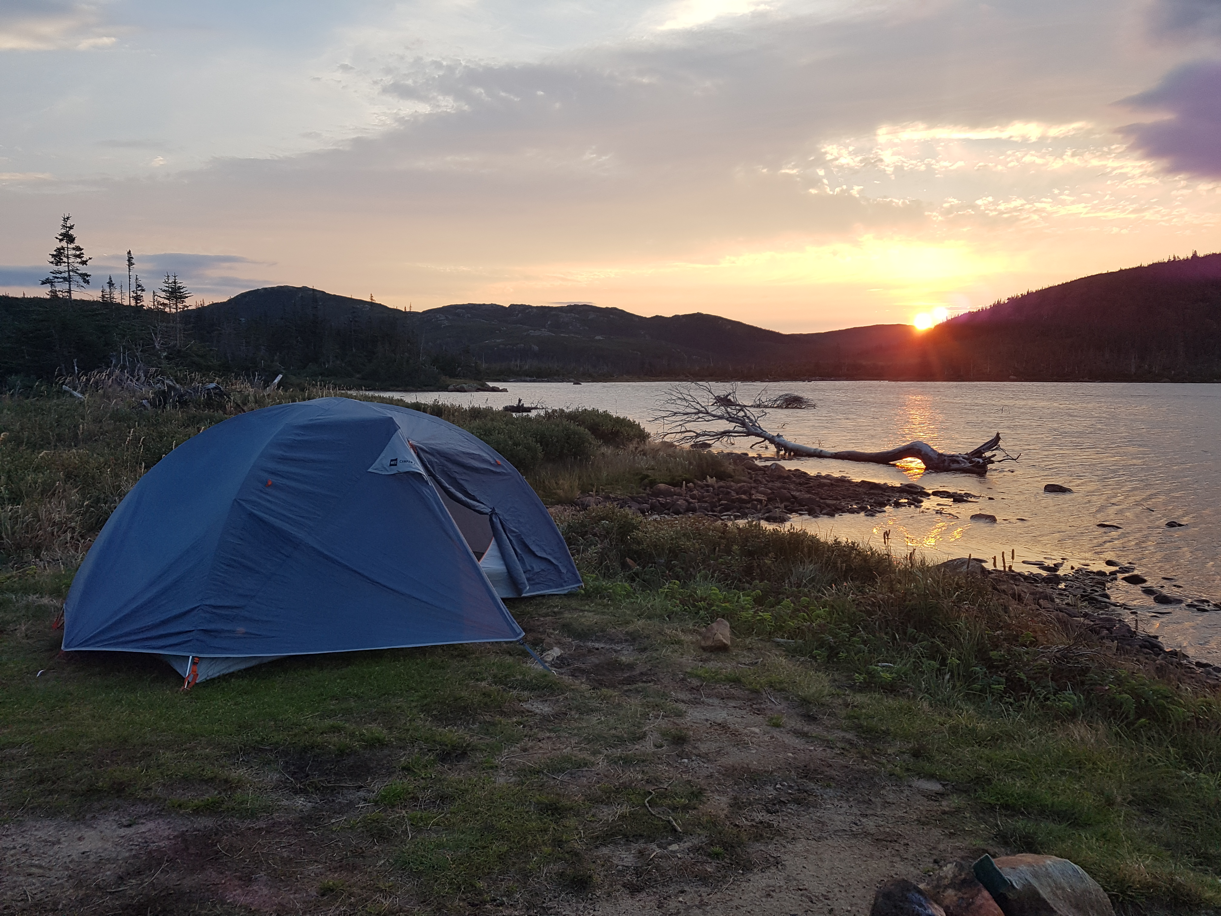
After walking in the mud for a couple hours, I arrived at the Marks Pond campsite with an hour left before sunset. I set up my tent by the water, and dried off my feet while I prepared dinner. I prefer to sleep in a hammock while in the backcountry, but the stunted trees could not be relied on to keep me off the ground. Although, the trees and boulders would have been sufficient to raise a water bladder for a gravity filter. There were frequent clear sources of water along the trail, so not much water had to be carried while hiking. I hoped another group would make it this far before it got dark, but nobody came. No campfires are allowed in the park, so it was an early night.
Day 2
I knew rain was in the forecast for later this day, so I wanted to get on the trail as early as I could. With some good fortune, maybe I could make it to Ferry Gulch, a campsite at the base of Gros Morne Mountain. I started preparing breakfast as soon as I had daylight. As I was eating in dawn, I saw two objects pop above the crest of a nearby hill, the antlers of an adult moose! I finished eating breakfast as I watched the genteel giant stroll out of view.
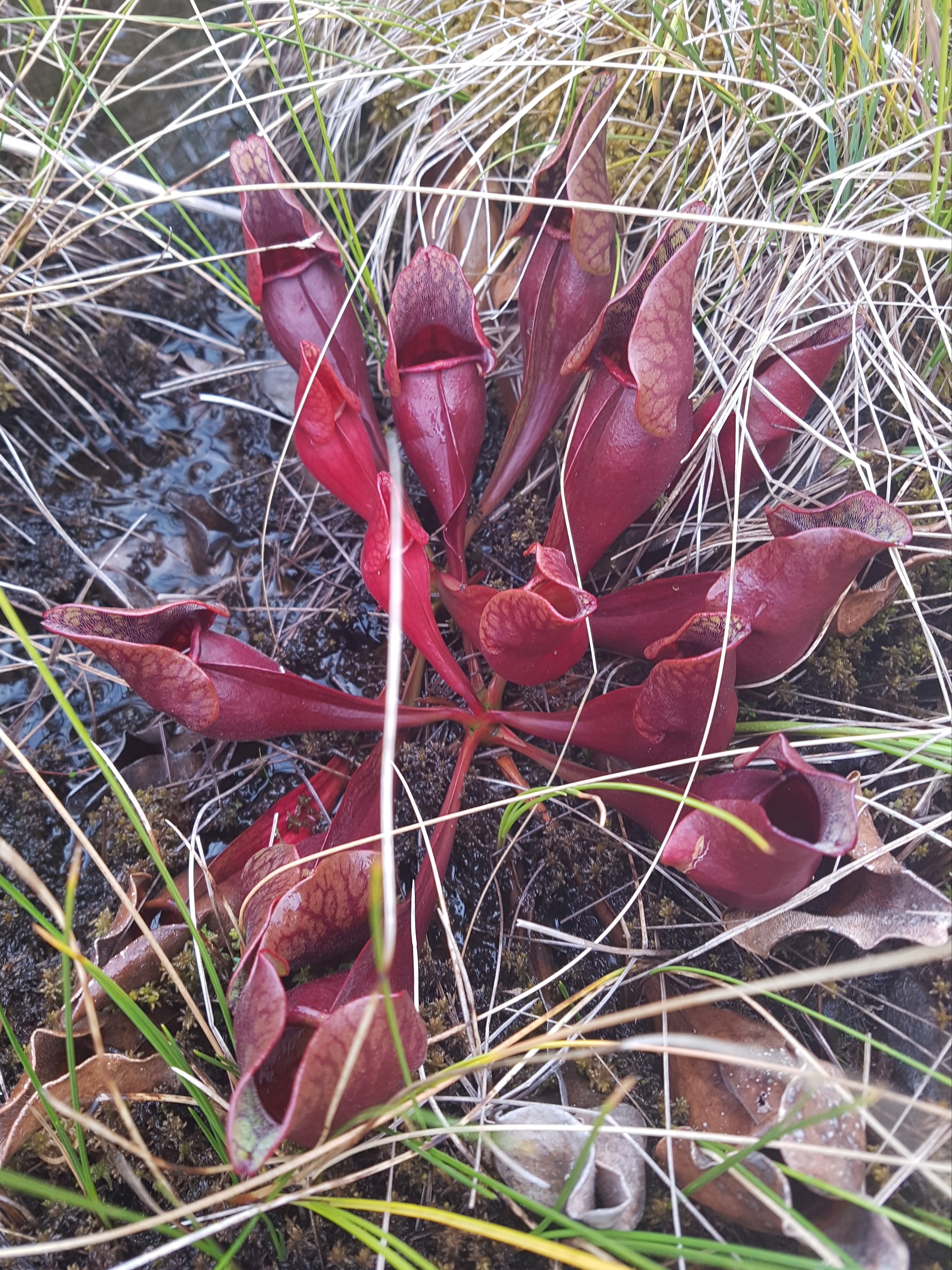
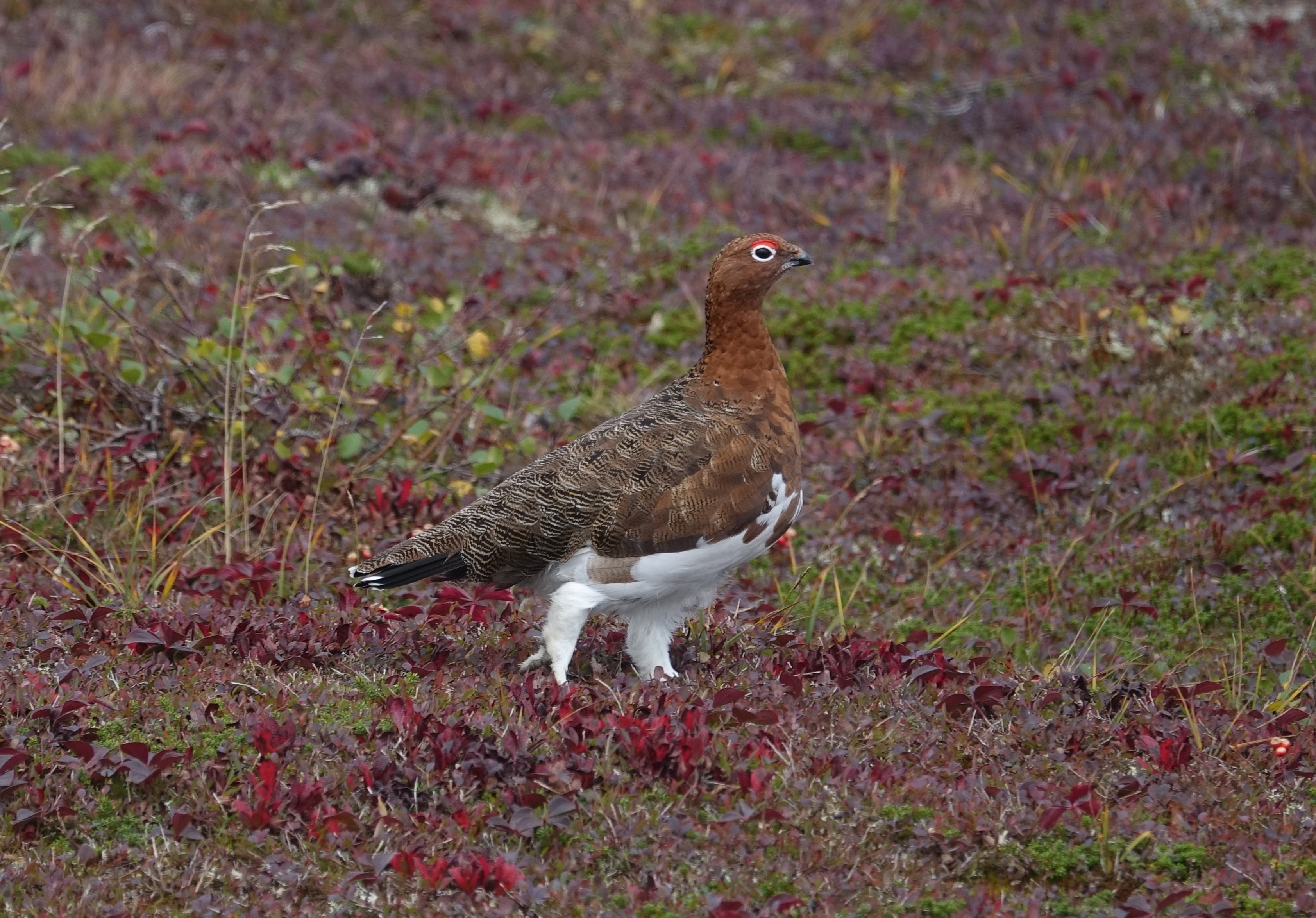
When I got on the trail this morning, I realized an odd red plant I kept seeing was a northern pitcher plant. The most winter tolerant pitcher plant in the world, and Newfoundland and Labrador's provincial flower. They were growing all over the barrens. At a later point on the trek this day, a flock of Willow Ptarmigans and I spooked each other as they were feeding just off the trail. Their camouflage is both effective and gorgeous. The area being so open gave good oppritunity for viewing wildlife, but there was not much protection from the wind.
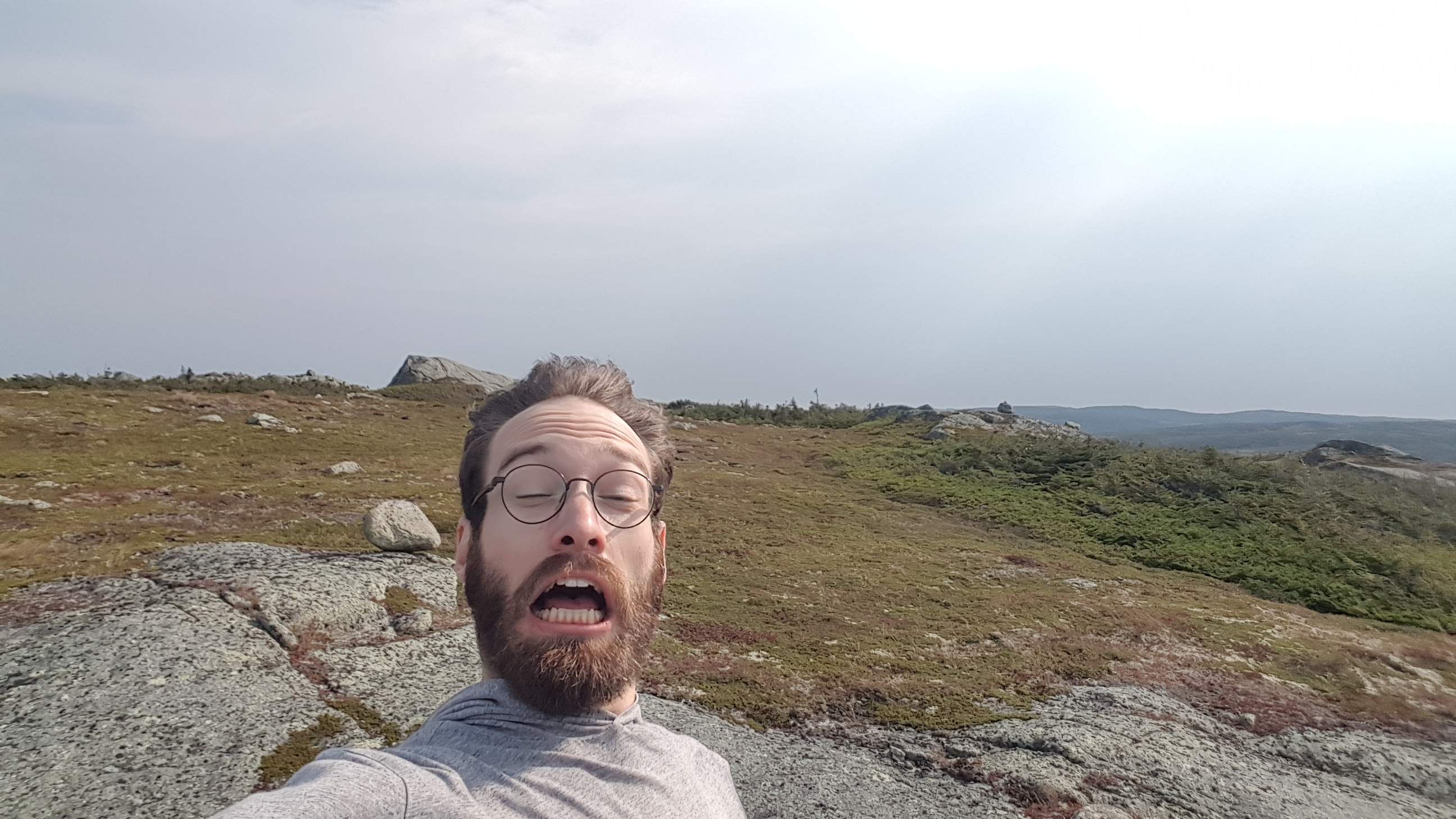
In general, it was easy to follow the route most people walk by eye. However, on occasion I started to accidently follow game trails made by the park's many moose, caribou, bears, and lost hikers. While going around Lower Green Island Pond the wrong way, I slipped in mud and hurt my right ankle. Thankfully it was only a minor injury. I could still hike, though with some discomfort and limited range of motion. Instead of pushing to Ferry Gulch, I decided to camp at the nearby tent pads, and spend the rest of the day massaging my ankle. At this point I wasn’t sure if this would be a three or four day hike. It would depend on how my ankle felt in the morning.
As I ate dinner, an older group of three came and set up camp at the two tent pads next to me. They entered the day before I did, but I passed them when they took the long way around a climb. It was nice to have some company. They were the only people I saw anywhere from the boat drop-off to Ferry Gulch. It didn’t start raining until late in the afternoon, but when it did it poured. All my gear stayed dry in the tent.
Day 3
I woke up to thick fog and an ankle that was not much better. The fog was so thick I could barely see 10 m beyond me. At this point, my goal for this day was just to make it to Ferry Gulch. There, I could let me ankle rest more. I could hike up the mountain then to the parking lot the next day. I hiked every step with incredible attention, to not worsen my injury. My GPS was checked frequently to make sure I didn't take a wrong turn in the fog. I was glad to have invested in a proper GPS app on my phone. Even though I couldn’t see much from the lookouts, they fog itself gave the landscape an appealing eerie atmosphere.
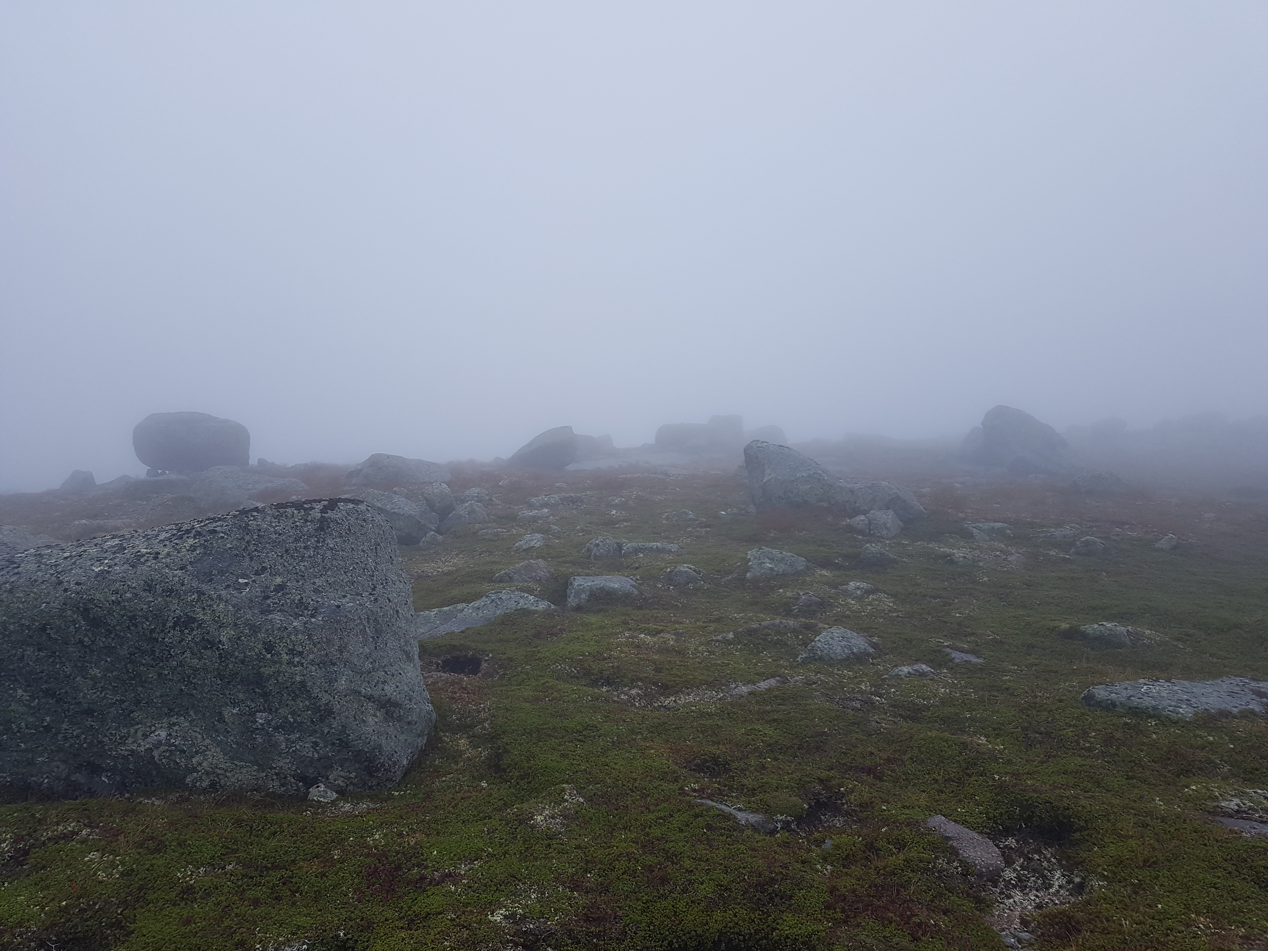
Before I knew it, I made it to Ferry Gulch, and my ankle wasn’t any worse for it. From this point, there would be no more mud. The fog was clear here at the bottom of Gros Morne, but the top was still entirely capped in fog. Thankfully, over the hour lunch I had at Ferry Gulch, the fog slowly lifted. Instead of setting up camp, I decided to hike up to the pinnacle point, leaving most of my gear hidden behind the camp toilet. I was going up and down the same way, using the easier trail near Ferry Gulch with wooden steps instead of scree. I ran into many day hikers as I was ascending. Many looked like they underestimated the trail, but few looked like they had regrets.
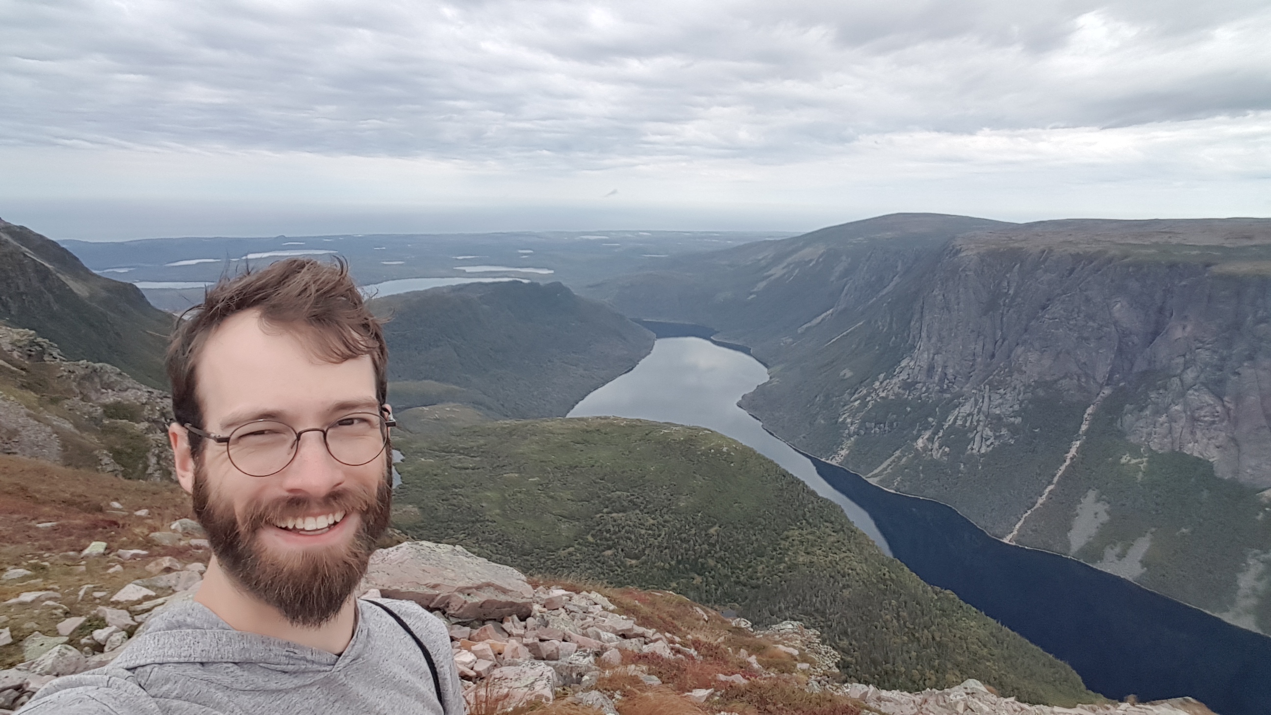
It was a little emotional approaching the summit. This would be my second visited pinnacle point, after the Algonquin Park High Point, but there I could barely see the horizon through the heavily forested hilltop. This was closer to how I envisioned a pinnacle point to be. The views as you approach the flat top are unobstructed and simply amazing, and the sun was starting to come out. The long slog through the mud made this pinnacle point feel well earned. I took my time at the summit, taking it all in. Near the pinnacle point, I stumbled upon another flock of willow ptarmigans, undaunted this time. Ptarmigans are commonly reported on top of Gros Morne.
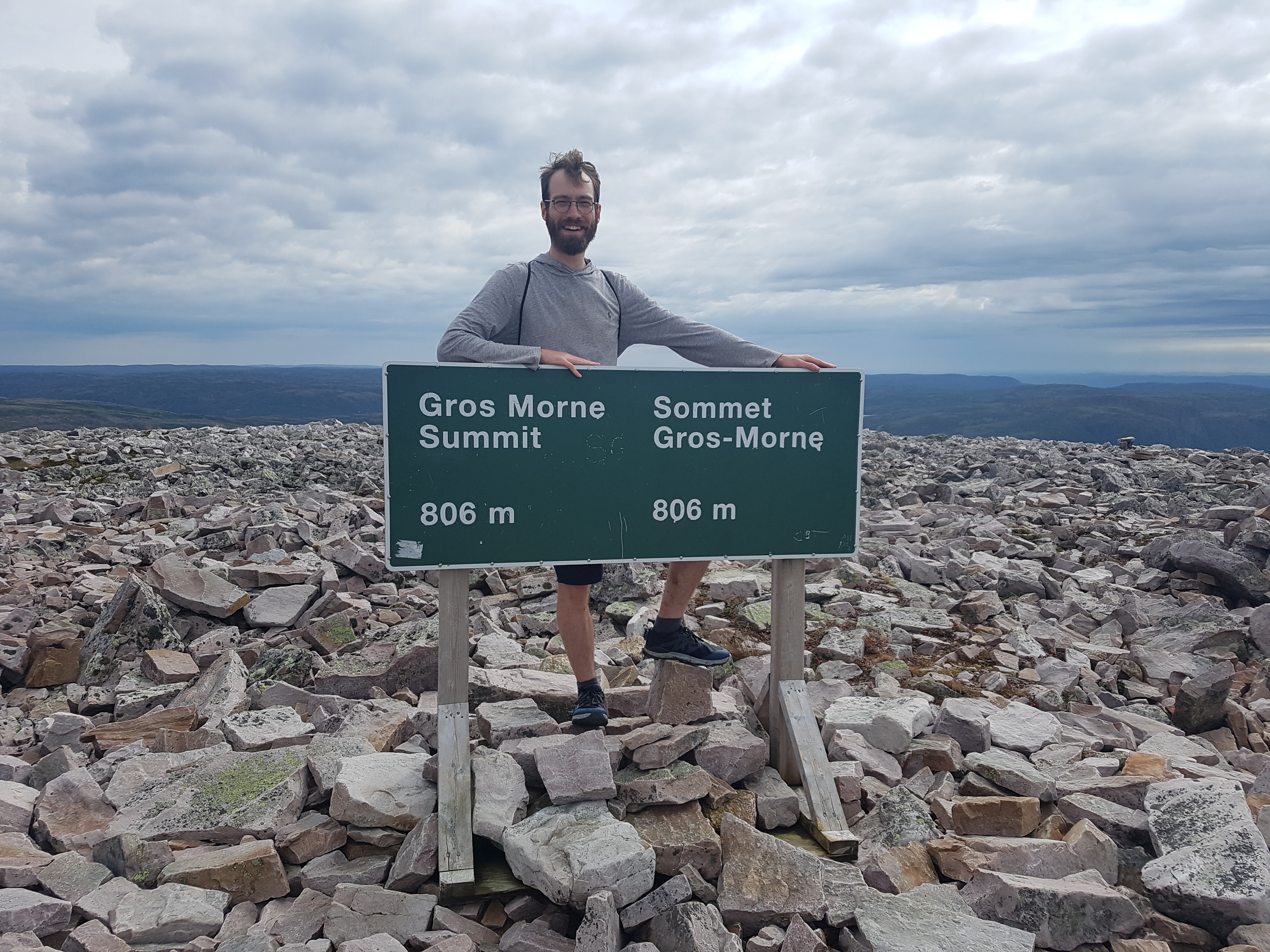
The rest of the trail was downhill from where I stood, and my ankle was still feeling the same as when I woke up. I had no doubt I could hike out before nightfall. I made it back down the mountain to my backpack in no time. It started raining as I hiked towards the parking lot from Ferry Gulch. I underestimated how long it would take to hike this section, so I didn’t bother with rain gear. Exhausted and wet, I made it to the parking lot in three days after all. As soon as I did, I drove to a recommended restaurant in Rocky Harbour and had myself a much needed moose burger with cloudberry pie and ice cream. I would recommend moose, but not as the first meal off the trail. It was too lean and I was craving a fatty burger. As for the pie, the locally foraged berries were well worth the price, once.
Conclusion
The scenery on the Long Range Traverse is among the most impressive I have ever seen. The short vegetation gives neverending panoramic views. My favourite sections of the trail were the two major acents: up the Western Brook Pond valley and up Gros Morne Mountain to the pinnacle point. These sections each give increasingly impressive views all the way to the top, and you can keep your feet dry all the while. Unfortunately, the long strech of mud between these two sections left me shocked the Long Range Travers is so highly revered. From what I hear, the weather I had on the trail was better than usual. I can't imagine hiking through that mud on a particularly rainy day. Every point of the trail is beautiful, but the best sections, including the ascent to pinnacle point, can be day hiked. Unless you are the kind of backpacker that enjoys the suffering, you might want to give extra consideration to backpacking in Gros Morne. If you do decide to hike the Long Range Travers, be as prepared as you can be, and don't lose your phone.
